Street, Polperro
Introduction
The photograph on this page of Street, Polperro by Derek Harper as part of the Geograph project.
The Geograph project started in 2005 with the aim of publishing, organising and preserving representative images for every square kilometre of Great Britain, Ireland and the Isle of Man.

There are currently over 7.5m images from over 14,400 individuals and you can help contribute to the project by visiting https://www.geograph.org.uk
Street, Polperro
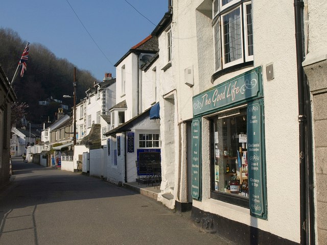
Image: © Derek Harper Taken: 4 Mar 2011
Not sure whether this is still Fore Street (shown lower down in Image), The Coombes, or Main Road - the maps and internet are ambivalent, and these two enterprises, a cafe and a wine and food shop, do not seem to be on the internet yet.
Images are licensed for reuse under creativecommons.org/licenses/by-sa/2.0
Image Location
Latitude
50.331548
Longitude
-4.522046