Old High Road, Yoxford
Introduction
The photograph on this page of Old High Road, Yoxford by Geographer as part of the Geograph project.
The Geograph project started in 2005 with the aim of publishing, organising and preserving representative images for every square kilometre of Great Britain, Ireland and the Isle of Man.

There are currently over 7.5m images from over 14,400 individuals and you can help contribute to the project by visiting https://www.geograph.org.uk
Old High Road, Yoxford
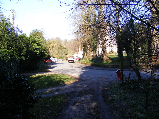
Image: © Geographer Taken: 7 Mar 2011
Taken from the footpath to Stickland Manor Hill & A12 Main Road looking towards the A1120 High Street Yoxford footpath no.2 Road No.U2501
Images are licensed for reuse under creativecommons.org/licenses/by-sa/2.0
Image Location
Latitude
52.266486
Longitude
1.506534