Orchard Street, Bury St Edmunds
Introduction
The photograph on this page of Orchard Street, Bury St Edmunds by Bob Jones as part of the Geograph project.
The Geograph project started in 2005 with the aim of publishing, organising and preserving representative images for every square kilometre of Great Britain, Ireland and the Isle of Man.

There are currently over 7.5m images from over 14,400 individuals and you can help contribute to the project by visiting https://www.geograph.org.uk
Orchard Street, Bury St Edmunds
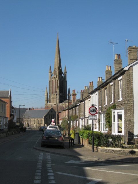
Image: © Bob Jones Taken: 7 Mar 2011
Viewed from its junction with Short Brackland and Cannon Street, Orchard Street contains close-packed terraced housing. At the end of the street is the imposing church of St John the Evangelist, affectionately known locally as the 'Skyrocket', for obvious reasons.
Images are licensed for reuse under creativecommons.org/licenses/by-sa/2.0
Image Location
Latitude
52.248643
Longitude
0.712994