Justins Avenue
Introduction
The photograph on this page of Justins Avenue by Nigel Mykura as part of the Geograph project.
The Geograph project started in 2005 with the aim of publishing, organising and preserving representative images for every square kilometre of Great Britain, Ireland and the Isle of Man.

There are currently over 7.5m images from over 14,400 individuals and you can help contribute to the project by visiting https://www.geograph.org.uk
Justins Avenue
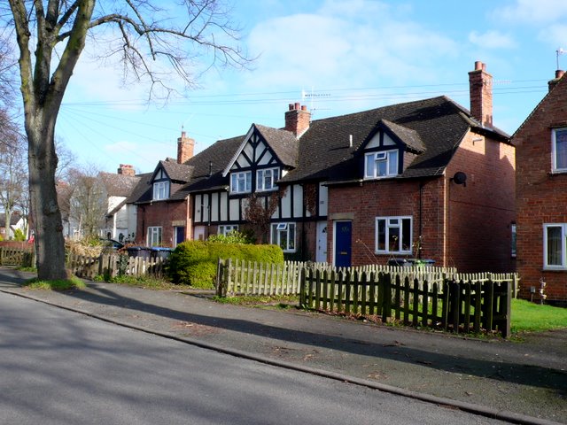
Image: © Nigel Mykura Taken: 6 Mar 2011
These 1940s mock Tudor terraced houses are in Justins Avenue off the Birmingham Rd close to the junction with Elm Rd.
Images are licensed for reuse under creativecommons.org/licenses/by-sa/2.0
Image Location
Latitude
52.203593
Longitude
-1.714619