Horsehill Lake near Burghfield
Introduction
The photograph on this page of Horsehill Lake near Burghfield by Pam Brophy as part of the Geograph project.
The Geograph project started in 2005 with the aim of publishing, organising and preserving representative images for every square kilometre of Great Britain, Ireland and the Isle of Man.

There are currently over 7.5m images from over 14,400 individuals and you can help contribute to the project by visiting https://www.geograph.org.uk
Horsehill Lake near Burghfield
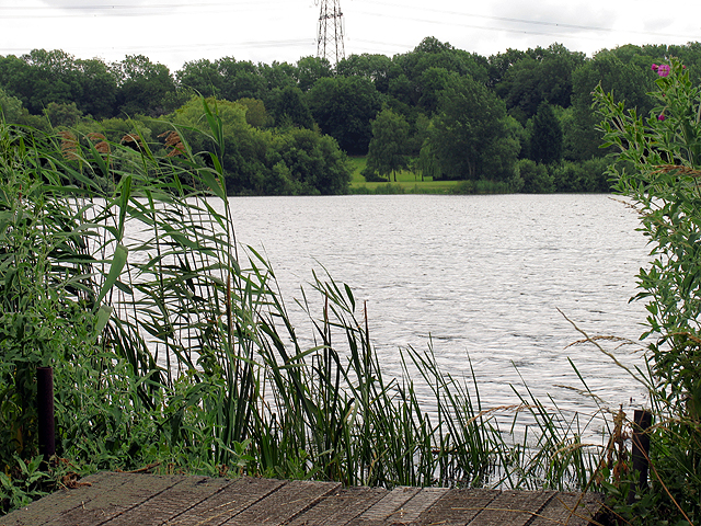
Image: © Pam Brophy Taken: 1 Jul 2005
This section of the lake is in the north western section of the square, looking more or less east (note the pylon). The square is largely lake and farmland with some minor roads.
Images are licensed for reuse under creativecommons.org/licenses/by-sa/2.0
Image Location


Leaflet Map data © OpenStreetMap
Latitude
51.423584
Longitude
-1.06568