Standingstone Farm
Introduction
The photograph on this page of Standingstone Farm by Anne Burgess as part of the Geograph project.
The Geograph project started in 2005 with the aim of publishing, organising and preserving representative images for every square kilometre of Great Britain, Ireland and the Isle of Man.

There are currently over 7.5m images from over 14,400 individuals and you can help contribute to the project by visiting https://www.geograph.org.uk
Standingstone Farm
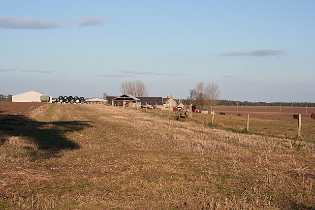
Image: © Anne Burgess Taken: 7 Mar 2011
The obvious image for this square is this farm from the minor road to the south. This is the same farm, but from the edge of the woodland between it and Kirkhill.
Images are licensed for reuse under creativecommons.org/licenses/by-sa/2.0
Image Location
Latitude
57.661065
Longitude
-3.450903