Open ground between Upper Way and Weydon Lane
Introduction
The photograph on this page of Open ground between Upper Way and Weydon Lane by Shazz as part of the Geograph project.
The Geograph project started in 2005 with the aim of publishing, organising and preserving representative images for every square kilometre of Great Britain, Ireland and the Isle of Man.

There are currently over 7.5m images from over 14,400 individuals and you can help contribute to the project by visiting https://www.geograph.org.uk
Open ground between Upper Way and Weydon Lane
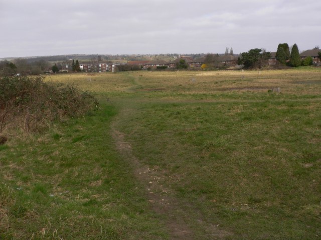
Image: © Shazz Taken: 6 Mar 2011
This seems to be an open area for public use but it is very scruffy and the corner behind the camera was littered with rubbish. What a shame.
Images are licensed for reuse under creativecommons.org/licenses/by-sa/2.0
Image Location
Latitude
51.205217
Longitude
-0.805142