Pingle Croft
Introduction
The photograph on this page of Pingle Croft by Ann Cook as part of the Geograph project.
The Geograph project started in 2005 with the aim of publishing, organising and preserving representative images for every square kilometre of Great Britain, Ireland and the Isle of Man.

There are currently over 7.5m images from over 14,400 individuals and you can help contribute to the project by visiting https://www.geograph.org.uk
Pingle Croft
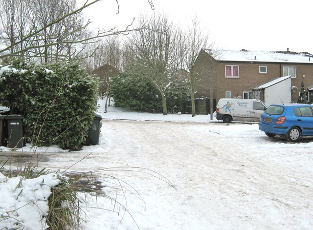
Image: © Ann Cook Taken: 25 Dec 2010
This is a little cul-de-sac off Pingle Croft. The main part of the road can be seen running across the centre of the photograph.
Images are licensed for reuse under creativecommons.org/licenses/by-sa/2.0
Image Location
Latitude
53.701776
Longitude
-2.646446