Mining School Hill, Crumlin
Introduction
The photograph on this page of Mining School Hill, Crumlin by Jaggery as part of the Geograph project.
The Geograph project started in 2005 with the aim of publishing, organising and preserving representative images for every square kilometre of Great Britain, Ireland and the Isle of Man.

There are currently over 7.5m images from over 14,400 individuals and you can help contribute to the project by visiting https://www.geograph.org.uk
Mining School Hill, Crumlin
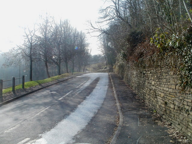
Image: © Jaggery Taken: 17 Feb 2011
The road climbs away from Main Street, heading towards the Crumlin Rathbone centre, which opened in 1976. The centre occupies the former mining school building.
Images are licensed for reuse under creativecommons.org/licenses/by-sa/2.0
Image Location
Latitude
51.676104
Longitude
-3.142464