Lane to Talland
Introduction
The photograph on this page of Lane to Talland by Derek Harper as part of the Geograph project.
The Geograph project started in 2005 with the aim of publishing, organising and preserving representative images for every square kilometre of Great Britain, Ireland and the Isle of Man.

There are currently over 7.5m images from over 14,400 individuals and you can help contribute to the project by visiting https://www.geograph.org.uk
Lane to Talland
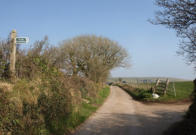
Image: © Derek Harper Taken: 4 Mar 2011
A route with public access is how this lane is mapped, and it doesn't give vehicle access except to a few properties on the west side of the bay. To the right, gold path 612/1/1 provides a faster link to the coast path below Downend Cottage.
Images are licensed for reuse under creativecommons.org/licenses/by-sa/2.0
Image Location
Latitude
50.335218
Longitude
-4.50622