Evidence of flooding
Introduction
The photograph on this page of Evidence of flooding by Richard Webb as part of the Geograph project.
The Geograph project started in 2005 with the aim of publishing, organising and preserving representative images for every square kilometre of Great Britain, Ireland and the Isle of Man.

There are currently over 7.5m images from over 14,400 individuals and you can help contribute to the project by visiting https://www.geograph.org.uk
Evidence of flooding
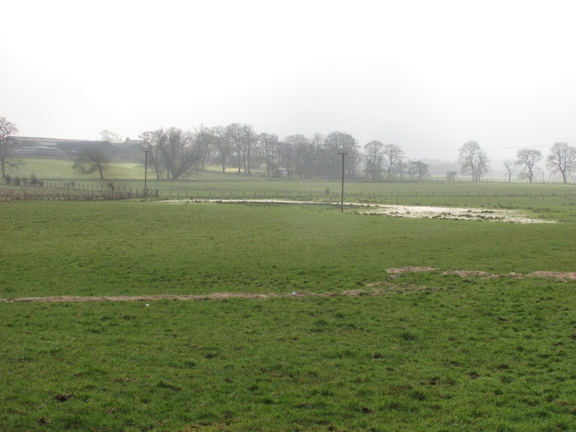
Image: © Richard Webb Taken: 4 Mar 2011
A line of debris shows the high water level of a flood on the Luggie Water. The flood plain grasslands are popular with geese.
Images are licensed for reuse under creativecommons.org/licenses/by-sa/2.0
Image Location
Latitude
55.929937
Longitude
-4.070484