Alongside the Airport
Introduction
The photograph on this page of Alongside the Airport by Jonathan Thacker as part of the Geograph project.
The Geograph project started in 2005 with the aim of publishing, organising and preserving representative images for every square kilometre of Great Britain, Ireland and the Isle of Man.

There are currently over 7.5m images from over 14,400 individuals and you can help contribute to the project by visiting https://www.geograph.org.uk
Alongside the Airport
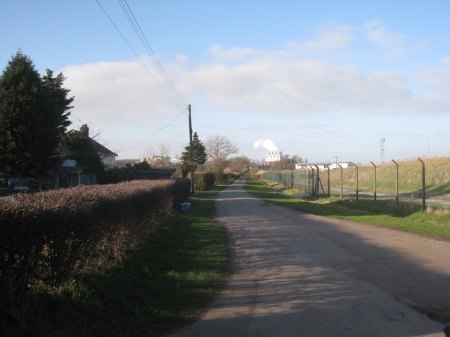
Image: © Jonathan Thacker Taken: 6 Mar 2011
This is the lane that runs from Kirmington Vale to the A18. On the right is the sound barrier that stands between the lane and Humberside International Airport and straight ahead are the lime kilns near Melton Ross.
Images are licensed for reuse under creativecommons.org/licenses/by-sa/2.0
Image Location
Latitude
53.58231
Longitude
-0.356387