Chesterfield golf course and view of the town
Introduction
The photograph on this page of Chesterfield golf course and view of the town by Andrew Hill as part of the Geograph project.
The Geograph project started in 2005 with the aim of publishing, organising and preserving representative images for every square kilometre of Great Britain, Ireland and the Isle of Man.

There are currently over 7.5m images from over 14,400 individuals and you can help contribute to the project by visiting https://www.geograph.org.uk
Chesterfield golf course and view of the town
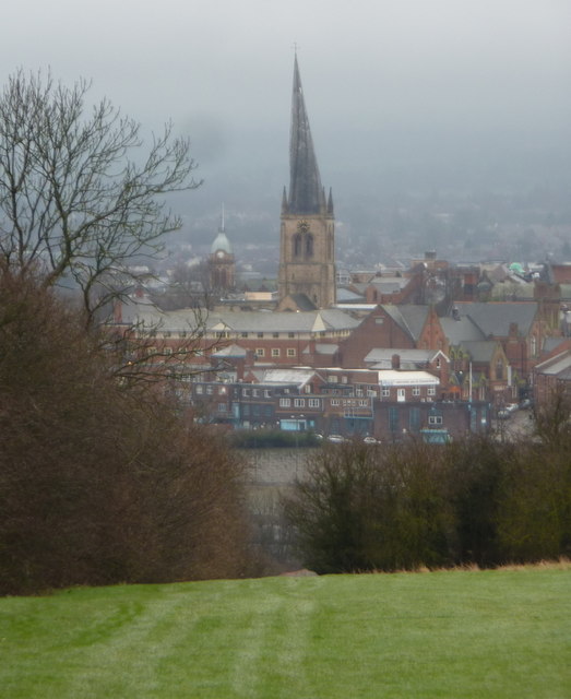
Image: © Andrew Hill Taken: 5 Mar 2011
A public footpath crosses the course, with views directly ahead to the famous crooked spire.
Images are licensed for reuse under creativecommons.org/licenses/by-sa/2.0
Image Location
Latitude
53.237455
Longitude
-1.411136