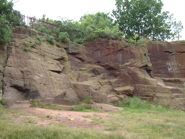
Pex Hill - abandoned quarry
Introduction
The photograph on this page of Pex Hill - abandoned quarry by Gary Rogers as part of the Geograph project.
The Geograph project started in 2005 with the aim of publishing, organising and preserving representative images for every square kilometre of Great Britain, Ireland and the Isle of Man.
There are currently over 7.5m images from over 14,400 individuals and you can help contribute to the project by visiting https://www.geograph.org.uk

Image: © Gary Rogers Taken: 1 Jul 2005
Pex Hill is part of a series of hills which runs north west to south east across the south west lancashire and Cheshire plains. The sandstone of Pex Hill dates to the Triassic (205 - 250 million years ago) It's possible that there's been quarrying activity here since the 16th century but the site has not been quarried for over 100 years. Some of the extracted rock was used to build the Pex Hill Reservoirs the oldest remaining dating from 1878. Nowadays the quarry is used by climbers for practice and as a secluded gathering place for teenagers!
Image Location


