New Shelve Farm
Introduction
The photograph on this page of New Shelve Farm by Penny Mayes as part of the Geograph project.
The Geograph project started in 2005 with the aim of publishing, organising and preserving representative images for every square kilometre of Great Britain, Ireland and the Isle of Man.

There are currently over 7.5m images from over 14,400 individuals and you can help contribute to the project by visiting https://www.geograph.org.uk
New Shelve Farm
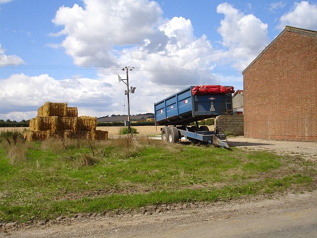
Image: © Penny Mayes Taken: 29 Aug 2006
Farm buildings and machinery on the west side of Lenham Forstal Road, opposite those shown in Image The hedgeline marks the line of the A20 Ashford to Maidstone road, North Downs in the background.
Images are licensed for reuse under creativecommons.org/licenses/by-sa/2.0
Image Location
Latitude
51.229619
Longitude
0.742856