Hole 18, The East Course, East Sussex National Golf Course
Introduction
The photograph on this page of Hole 18, The East Course, East Sussex National Golf Course by Simon Carey as part of the Geograph project.
The Geograph project started in 2005 with the aim of publishing, organising and preserving representative images for every square kilometre of Great Britain, Ireland and the Isle of Man.

There are currently over 7.5m images from over 14,400 individuals and you can help contribute to the project by visiting https://www.geograph.org.uk
Hole 18, The East Course, East Sussex National Golf Course
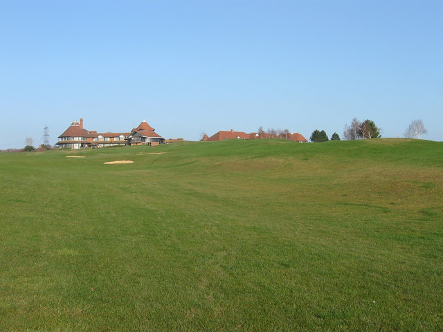
Image: © Simon Carey Taken: 3 Mar 2011
Heading up the hill towards the green and the clubhouse. According to Little Horsted's 1839 tithe map this was once a field called Eight Acres.
Images are licensed for reuse under creativecommons.org/licenses/by-sa/2.0
Image Location


Leaflet Map data © OpenStreetMap
Latitude
50.941042
Longitude
0.098622