Southern side of Coed Celynen housing development, Abercarn
Introduction
The photograph on this page of Southern side of Coed Celynen housing development, Abercarn by Jaggery as part of the Geograph project.
The Geograph project started in 2005 with the aim of publishing, organising and preserving representative images for every square kilometre of Great Britain, Ireland and the Isle of Man.

There are currently over 7.5m images from over 14,400 individuals and you can help contribute to the project by visiting https://www.geograph.org.uk
Southern side of Coed Celynen housing development, Abercarn
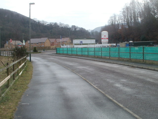
Image: © Jaggery Taken: 23 Jan 2011
The development, on the west bank of the Ebbw River, occupies the site of the former South Celynen colliery. The section ahead is known as 'Phase 3'.
Images are licensed for reuse under creativecommons.org/licenses/by-sa/2.0
Image Location
Latitude
51.651903
Longitude
-3.134628