Cliviger Mill Bridge
Introduction
The photograph on this page of Cliviger Mill Bridge by Humphrey Bolton as part of the Geograph project.
The Geograph project started in 2005 with the aim of publishing, organising and preserving representative images for every square kilometre of Great Britain, Ireland and the Isle of Man.

There are currently over 7.5m images from over 14,400 individuals and you can help contribute to the project by visiting https://www.geograph.org.uk
Cliviger Mill Bridge
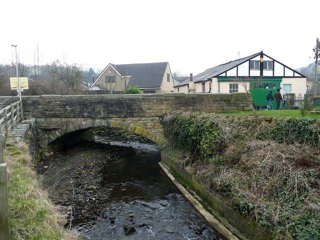
Image: © Humphrey Bolton Taken: 3 Mar 2011
The 1848 six-inch map has the caption 'Cliviger Mill (Corn)' but on the 1893 1:2500 map it was Cliviger Brewery (disused). The building with the green door was, or is on the site of, a smithy.
Images are licensed for reuse under creativecommons.org/licenses/by-sa/2.0
Image Location
Latitude
53.767962
Longitude
-2.209322