Path along western edge of Home Covert
Introduction
The photograph on this page of Path along western edge of Home Covert by Peter Facey as part of the Geograph project.
The Geograph project started in 2005 with the aim of publishing, organising and preserving representative images for every square kilometre of Great Britain, Ireland and the Isle of Man.

There are currently over 7.5m images from over 14,400 individuals and you can help contribute to the project by visiting https://www.geograph.org.uk
Path along western edge of Home Covert
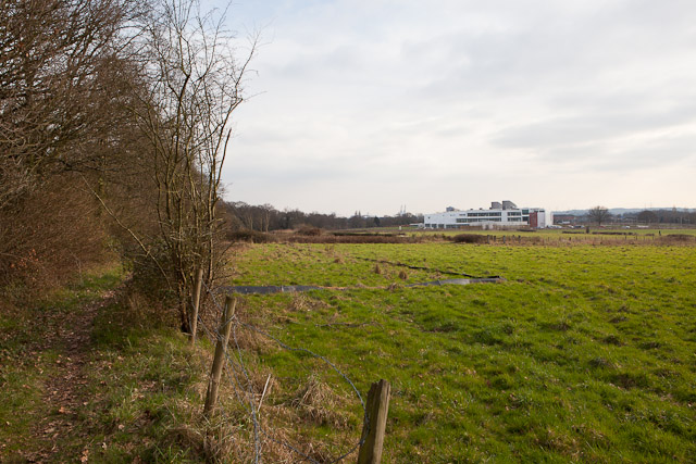
Image: © Peter Facey Taken: 5 Mar 2011
This path is used by local people but is not a public footpath. For the building, see http://www.geograph.org.uk/photo/2295422 .
Images are licensed for reuse under creativecommons.org/licenses/by-sa/2.0
Image Location
Latitude
50.941609
Longitude
-1.470056