Lower Chilley Farm
Introduction
The photograph on this page of Lower Chilley Farm by Derek Harper as part of the Geograph project.
The Geograph project started in 2005 with the aim of publishing, organising and preserving representative images for every square kilometre of Great Britain, Ireland and the Isle of Man.

There are currently over 7.5m images from over 14,400 individuals and you can help contribute to the project by visiting https://www.geograph.org.uk
Lower Chilley Farm
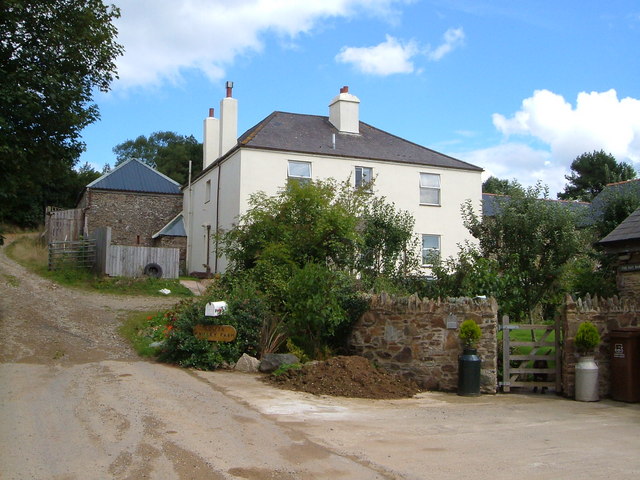
Image: © Derek Harper Taken: 24 Aug 2006
Farm in a shallow valley in the South Hams. East Allington Bridleway 53 begins just behind the camera and heads up past the farmhouse towards Moreleigh.
Images are licensed for reuse under creativecommons.org/licenses/by-sa/2.0
Image Location


Leaflet Map data © OpenStreetMap
Latitude
50.344089
Longitude
-3.739967