Chesterfield, Vicar Lane to Lordsmill Street
Introduction
The photograph on this page of Chesterfield, Vicar Lane to Lordsmill Street by Andrew Hill as part of the Geograph project.
The Geograph project started in 2005 with the aim of publishing, organising and preserving representative images for every square kilometre of Great Britain, Ireland and the Isle of Man.

There are currently over 7.5m images from over 14,400 individuals and you can help contribute to the project by visiting https://www.geograph.org.uk
Chesterfield, Vicar Lane to Lordsmill Street
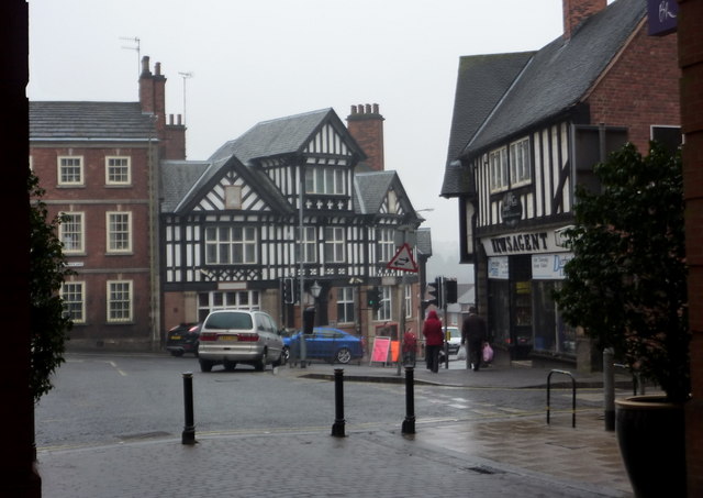
Image: © Andrew Hill Taken: 5 Mar 2011
View from an archway to the Vicar Lane pedestrianised shopping precinct. Chesterfield has a good number of historic half-timbered buildings.
Images are licensed for reuse under creativecommons.org/licenses/by-sa/2.0
Image Location


Leaflet Map data © OpenStreetMap
Latitude
53.235634
Longitude
-1.424645