Through the flats to the flats
Introduction
The photograph on this page of Through the flats to the flats by Robin Webster as part of the Geograph project.
The Geograph project started in 2005 with the aim of publishing, organising and preserving representative images for every square kilometre of Great Britain, Ireland and the Isle of Man.

There are currently over 7.5m images from over 14,400 individuals and you can help contribute to the project by visiting https://www.geograph.org.uk
Through the flats to the flats
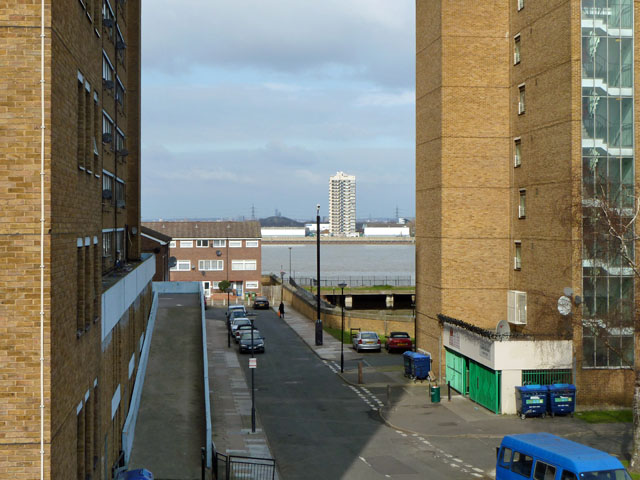
Image: © Robin Webster Taken: 5 Mar 2011
The near blocks are Sovereign House on the right and St Domingo House on the left, Woolwich, SE16. Distant is Dunedin House, North Woolwich, E16.
Images are licensed for reuse under creativecommons.org/licenses/by-sa/2.0
Image Location
Latitude
51.494348
Longitude
0.055507