Bus stop above D?l-y-Bont
Introduction
The photograph on this page of Bus stop above D?l-y-Bont by Bill Boaden as part of the Geograph project.
The Geograph project started in 2005 with the aim of publishing, organising and preserving representative images for every square kilometre of Great Britain, Ireland and the Isle of Man.

There are currently over 7.5m images from over 14,400 individuals and you can help contribute to the project by visiting https://www.geograph.org.uk
Bus stop above D?l-y-Bont
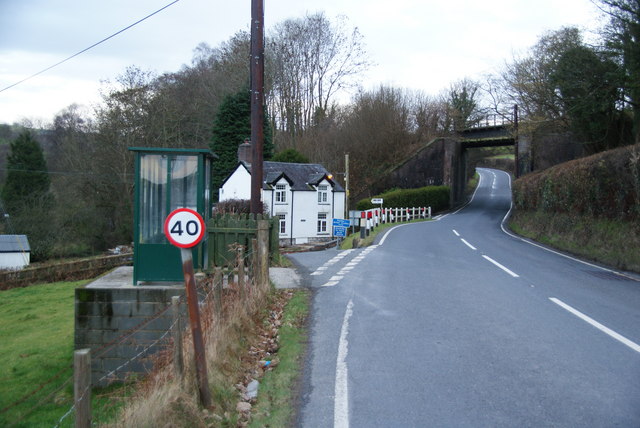
Image: © Bill Boaden Taken: 26 Feb 2011
Dôl-y-Bont is down the road to the left. The villagers have to walk up the hill if they want to catch the bus. The road ahead leads to Llandre and eventually Aberystwyth.
Images are licensed for reuse under creativecommons.org/licenses/by-sa/2.0
Image Location
Latitude
52.472247
Longitude
-4.028542