Station Road
Introduction
The photograph on this page of Station Road by Simon Carey as part of the Geograph project.
The Geograph project started in 2005 with the aim of publishing, organising and preserving representative images for every square kilometre of Great Britain, Ireland and the Isle of Man.

There are currently over 7.5m images from over 14,400 individuals and you can help contribute to the project by visiting https://www.geograph.org.uk
Station Road
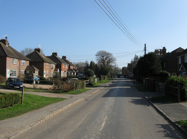
Image: © Simon Carey Taken: 3 Mar 2011
Heading south towards the station and junction with Horsted Lane and Lewes Road. This is the southern end of Isfield that was built up after the arrival of the railway and station in 1858, the right hand side lined by more substantial 19th century villa type houses whilst those on the left arrived midway through the 20th century.
Images are licensed for reuse under creativecommons.org/licenses/by-sa/2.0
Image Location
Latitude
50.935824
Longitude
0.063374