Bethesda Place, Rogerstone
Introduction
The photograph on this page of Bethesda Place, Rogerstone by Jaggery as part of the Geograph project.
The Geograph project started in 2005 with the aim of publishing, organising and preserving representative images for every square kilometre of Great Britain, Ireland and the Isle of Man.

There are currently over 7.5m images from over 14,400 individuals and you can help contribute to the project by visiting https://www.geograph.org.uk
Bethesda Place, Rogerstone
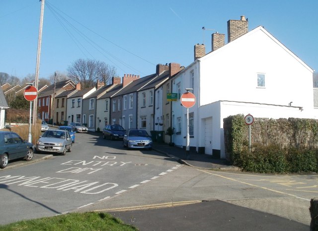
Image: © Jaggery Taken: 4 Mar 2011
Viewed from the corner of Wern Terrace. Bethesda Place leads up to Cefn Road and the Tredegar Arms http://www.geograph.org.uk/photo/1664734 but if you are a motorist, you will need to find another route.
Images are licensed for reuse under creativecommons.org/licenses/by-sa/2.0
Image Location


Leaflet Map data © OpenStreetMap
Latitude
51.5924
Longitude
-3.055191