Sports ground south of Worsley Bridge Road, SE6
Introduction
The photograph on this page of Sports ground south of Worsley Bridge Road, SE6 by Mike Quinn as part of the Geograph project.
The Geograph project started in 2005 with the aim of publishing, organising and preserving representative images for every square kilometre of Great Britain, Ireland and the Isle of Man.

There are currently over 7.5m images from over 14,400 individuals and you can help contribute to the project by visiting https://www.geograph.org.uk
Sports ground south of Worsley Bridge Road, SE6
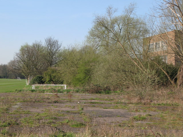
Image: © Mike Quinn Taken: 9 Apr 2010
The course of the Pool River runs through the trees on the right hand (east) side of the sports ground.
Images are licensed for reuse under creativecommons.org/licenses/by-sa/2.0
Image Location
Latitude
51.423331
Longitude
-0.030893