Southend Park
Introduction
The photograph on this page of Southend Park by Mike Quinn as part of the Geograph project.
The Geograph project started in 2005 with the aim of publishing, organising and preserving representative images for every square kilometre of Great Britain, Ireland and the Isle of Man.

There are currently over 7.5m images from over 14,400 individuals and you can help contribute to the project by visiting https://www.geograph.org.uk
Southend Park
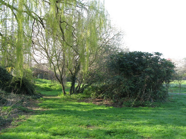
Image: © Mike Quinn Taken: 9 Apr 2010
This area, south of the Image, appears to be the lowest part of the park and therefore probably the course of the Pool River.
Images are licensed for reuse under creativecommons.org/licenses/by-sa/2.0
Image Location
Latitude
51.426505
Longitude
-0.030353