Woodland, Craigmarloch
Introduction
The photograph on this page of Woodland, Craigmarloch by Richard Webb as part of the Geograph project.
The Geograph project started in 2005 with the aim of publishing, organising and preserving representative images for every square kilometre of Great Britain, Ireland and the Isle of Man.

There are currently over 7.5m images from over 14,400 individuals and you can help contribute to the project by visiting https://www.geograph.org.uk
Woodland, Craigmarloch
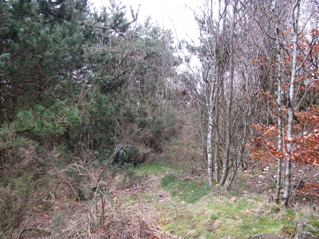
Image: © Richard Webb Taken: 4 Mar 2011
A strip of woodland between two residential streets: Glen Dochart Drive and Glen Orchy Road.
Images are licensed for reuse under creativecommons.org/licenses/by-sa/2.0
Image Location
Latitude
55.96105
Longitude
-4.020718