South Street
Introduction
The photograph on this page of South Street by Oast House Archive as part of the Geograph project.
The Geograph project started in 2005 with the aim of publishing, organising and preserving representative images for every square kilometre of Great Britain, Ireland and the Isle of Man.

There are currently over 7.5m images from over 14,400 individuals and you can help contribute to the project by visiting https://www.geograph.org.uk
South Street
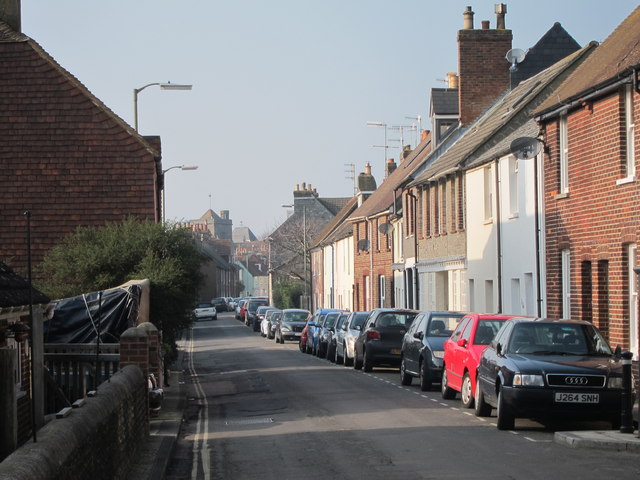
Image: © Oast House Archive Taken: 4 Mar 2011
A dead end street towards the centre. This road would once have been the main road into the town but has been bypassed by a tunnelled road behind the buildings to the right. Parking prices drop sharply the further you go away from the centre. £2 per hour nearest the centre and 30p per hour a few minutes walk away.
Images are licensed for reuse under creativecommons.org/licenses/by-sa/2.0
Image Location
Latitude
50.872334
Longitude
0.02205