Sugarloaf Hill, Folkestone
Introduction
The photograph on this page of Sugarloaf Hill, Folkestone by David Anstiss as part of the Geograph project.
The Geograph project started in 2005 with the aim of publishing, organising and preserving representative images for every square kilometre of Great Britain, Ireland and the Isle of Man.

There are currently over 7.5m images from over 14,400 individuals and you can help contribute to the project by visiting https://www.geograph.org.uk
Sugarloaf Hill, Folkestone
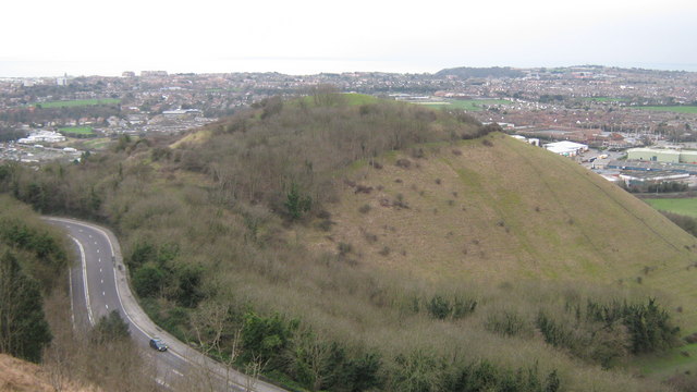
Image: © David Anstiss Taken: 27 Feb 2011
As seen from Crete Road East. The A260 Canterbury Road leads left past the hill towards Folkestone. On the right beyond the hill, are superstores on Park Farm Road.
Images are licensed for reuse under creativecommons.org/licenses/by-sa/2.0
Image Location
Latitude
51.098261
Longitude
1.174334