Kiln Lane
Introduction
The photograph on this page of Kiln Lane by Simon Carey as part of the Geograph project.
The Geograph project started in 2005 with the aim of publishing, organising and preserving representative images for every square kilometre of Great Britain, Ireland and the Isle of Man.

There are currently over 7.5m images from over 14,400 individuals and you can help contribute to the project by visiting https://www.geograph.org.uk
Kiln Lane
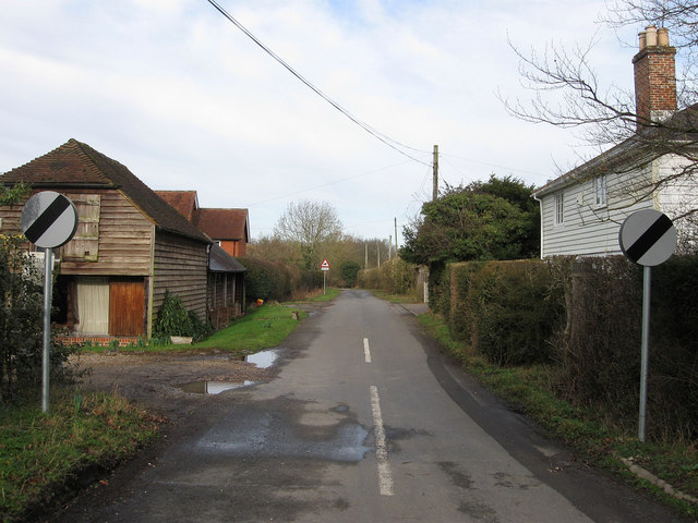
Image: © Simon Carey Taken: 27 Feb 2011
At the junction with Rose Hill, the A26. Braunton Farm is on the left and Batchelor's Hall to the right. The lane heads north to Lewes Road the minor road to Isfield.
Images are licensed for reuse under creativecommons.org/licenses/by-sa/2.0
Image Location
Latitude
50.926882
Longitude
0.070663