Path beside Deen City Farm
Introduction
The photograph on this page of Path beside Deen City Farm by Derek Harper as part of the Geograph project.
The Geograph project started in 2005 with the aim of publishing, organising and preserving representative images for every square kilometre of Great Britain, Ireland and the Isle of Man.

There are currently over 7.5m images from over 14,400 individuals and you can help contribute to the project by visiting https://www.geograph.org.uk
Path beside Deen City Farm
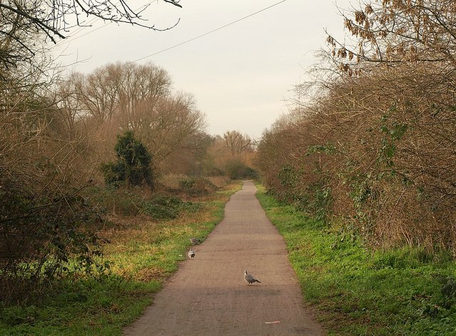
Image: © Derek Harper Taken: 3 Feb 2011
Pigeons take over the path between the Wandle (left) and the city farm, which is off to the right.
Images are licensed for reuse under creativecommons.org/licenses/by-sa/2.0
Image Location
Latitude
51.407942
Longitude
-0.185049