Beer Hackett Churchyard
Introduction
The photograph on this page of Beer Hackett Churchyard by Nigel Mykura as part of the Geograph project.
The Geograph project started in 2005 with the aim of publishing, organising and preserving representative images for every square kilometre of Great Britain, Ireland and the Isle of Man.

There are currently over 7.5m images from over 14,400 individuals and you can help contribute to the project by visiting https://www.geograph.org.uk
Beer Hackett Churchyard
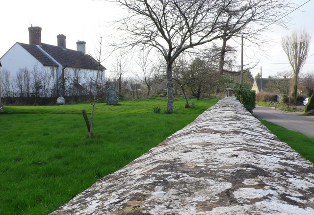
Image: © Nigel Mykura Taken: 3 Mar 2011
The church yard is surrounded by a broad topped Hamstone wall covered in lichen.. The white cottages are just on the other side of the churchyard, and the road through the village is on the right.
Images are licensed for reuse under creativecommons.org/licenses/by-sa/2.0
Image Location
Latitude
50.904185
Longitude
-2.570944