Former Brockworth Airfield
Introduction
The photograph on this page of Former Brockworth Airfield by Philip Halling as part of the Geograph project.
The Geograph project started in 2005 with the aim of publishing, organising and preserving representative images for every square kilometre of Great Britain, Ireland and the Isle of Man.

There are currently over 7.5m images from over 14,400 individuals and you can help contribute to the project by visiting https://www.geograph.org.uk
Former Brockworth Airfield
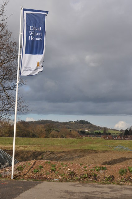
Image: © Philip Halling Taken: 26 Feb 2011
View across the western edge of the former Brockworth Airfield which is being redeveloped into a housing estate along with business and retail units. David Wilson Homes is one of the building firms working here. Churchdown or Chosen Hill can be seen in the distance.
Images are licensed for reuse under creativecommons.org/licenses/by-sa/2.0
Image Location
Latitude
51.845874
Longitude
-2.1846