Housing development, Coopers Edge
Introduction
The photograph on this page of Housing development, Coopers Edge by Philip Halling as part of the Geograph project.
The Geograph project started in 2005 with the aim of publishing, organising and preserving representative images for every square kilometre of Great Britain, Ireland and the Isle of Man.

There are currently over 7.5m images from over 14,400 individuals and you can help contribute to the project by visiting https://www.geograph.org.uk
Housing development, Coopers Edge
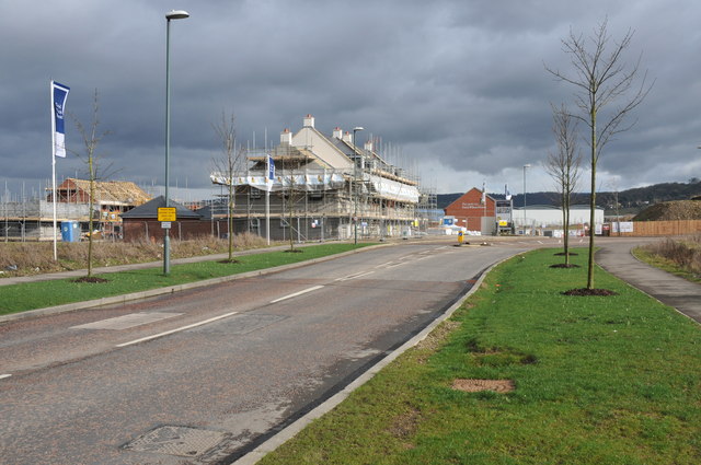
Image: © Philip Halling Taken: 26 Feb 2011
The former Brockworth Airfield is being redeveloped with housing with the result that Gloucester is spreading out to the east of the M5 motorway.
Images are licensed for reuse under creativecommons.org/licenses/by-sa/2.0
Image Location
Latitude
51.845067
Longitude
-2.183291