Road Closed
Introduction
The photograph on this page of Road Closed by David Clark as part of the Geograph project.
The Geograph project started in 2005 with the aim of publishing, organising and preserving representative images for every square kilometre of Great Britain, Ireland and the Isle of Man.

There are currently over 7.5m images from over 14,400 individuals and you can help contribute to the project by visiting https://www.geograph.org.uk
Road Closed
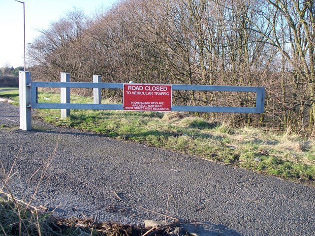
Image: © David Clark Taken: 2 Mar 2011
Even though the gate appears to be open permanently, there is a large mound of earth just to the left of the gate and out of shot.The reason for the closure can be seen here [http://www.geograph.org.uk/photo/2291778]
Images are licensed for reuse under creativecommons.org/licenses/by-sa/2.0
Image Location
Latitude
55.187474
Longitude
-1.537284