Sheep, St Dials Road, Cwmbran
Introduction
The photograph on this page of Sheep, St Dials Road, Cwmbran by Jaggery as part of the Geograph project.
The Geograph project started in 2005 with the aim of publishing, organising and preserving representative images for every square kilometre of Great Britain, Ireland and the Isle of Man.

There are currently over 7.5m images from over 14,400 individuals and you can help contribute to the project by visiting https://www.geograph.org.uk
Sheep, St Dials Road, Cwmbran
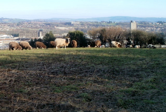
Image: © Jaggery Taken: 30 Jan 2011
Sheep grazing in a field opposite Hodges Terrace. http://www.geograph.org.uk/photo/2290976 In the distance, on lower ground, is central Cwmbran. The tall building on the right is the 22-storey The Tower Block. http://www.geograph.org.uk/photo/1611824
Images are licensed for reuse under creativecommons.org/licenses/by-sa/2.0
Image Location
Latitude
51.651951
Longitude
-3.032