Cwmbran : St Dials Road narrows to a single-track road
Introduction
The photograph on this page of Cwmbran : St Dials Road narrows to a single-track road by Jaggery as part of the Geograph project.
The Geograph project started in 2005 with the aim of publishing, organising and preserving representative images for every square kilometre of Great Britain, Ireland and the Isle of Man.

There are currently over 7.5m images from over 14,400 individuals and you can help contribute to the project by visiting https://www.geograph.org.uk
Cwmbran : St Dials Road narrows to a single-track road
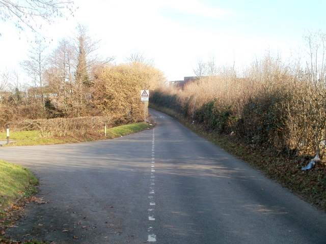
Image: © Jaggery Taken: 30 Jan 2011
Just beyond the entrance to a small parking area, beyond the left edge of the view, St Dials Road http://www.geograph.org.uk/photo/2290556 narrows to a single-track road.
Images are licensed for reuse under creativecommons.org/licenses/by-sa/2.0
Image Location
Latitude
51.651887
Longitude
-3.039226