Stourbridge Canal Junction
Introduction
The photograph on this page of Stourbridge Canal Junction by Stephen Rogerson as part of the Geograph project.
The Geograph project started in 2005 with the aim of publishing, organising and preserving representative images for every square kilometre of Great Britain, Ireland and the Isle of Man.

There are currently over 7.5m images from over 14,400 individuals and you can help contribute to the project by visiting https://www.geograph.org.uk
Stourbridge Canal Junction
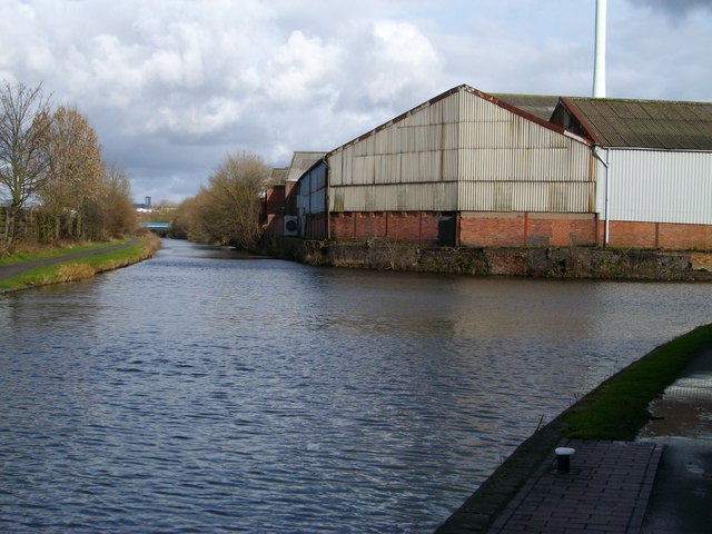
Image: © Stephen Rogerson Taken: 27 Feb 2011
This is a junction where the Stourbridge Canal goes to the right through Brierley Hill and the other fork continues up to Fens Pool where it stops.
Images are licensed for reuse under creativecommons.org/licenses/by-sa/2.0
Image Location
Latitude
52.482636
Longitude
-2.142789