Deansbrook Road
Introduction
The photograph on this page of Deansbrook Road by Martin Addison as part of the Geograph project.
The Geograph project started in 2005 with the aim of publishing, organising and preserving representative images for every square kilometre of Great Britain, Ireland and the Isle of Man.

There are currently over 7.5m images from over 14,400 individuals and you can help contribute to the project by visiting https://www.geograph.org.uk
Deansbrook Road
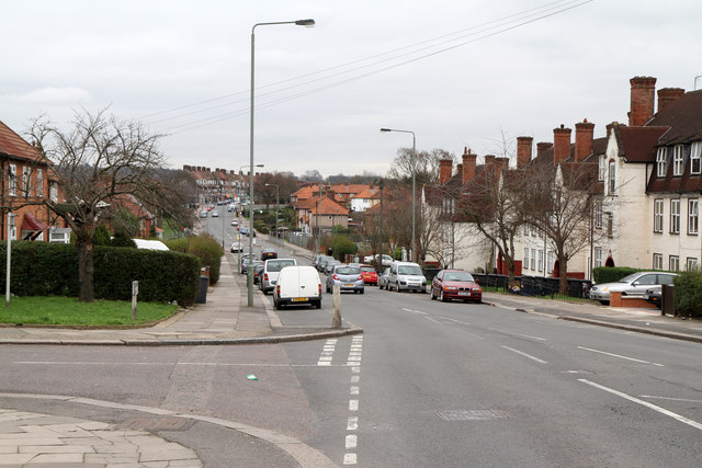
Image: © Martin Addison Taken: 25 Feb 2011
Looking from the junction with Langham Road across the valley of the Burnt Oak Brook. This road,along with the adjacent housing, was built between 1924 and 1930 as part of the Watling Estate development, extending the pre-existing Deansbrook Lane (subsequently renamed Deansbrook Road) from its junction with Deans Lane. The estate was designed by George Forrest and was built on open farmland (previously Goldbeaters Farm).
Images are licensed for reuse under creativecommons.org/licenses/by-sa/2.0
Image Location
Latitude
51.609908
Longitude
-0.261927