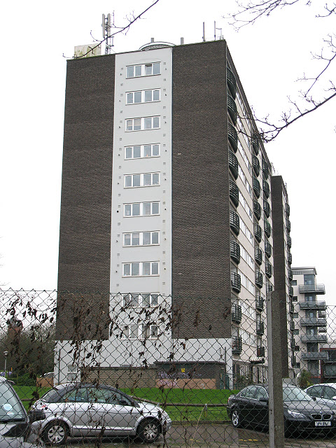
Greenwich Heights
Introduction
The photograph on this page of Greenwich Heights by Stephen Craven as part of the Geograph project.
The Geograph project started in 2005 with the aim of publishing, organising and preserving representative images for every square kilometre of Great Britain, Ireland and the Isle of Man.
There are currently over 7.5m images from over 14,400 individuals and you can help contribute to the project by visiting https://www.geograph.org.uk

Image: © Stephen Craven Taken: 27 Feb 2011
The name of this block presumably derives from the fact that from its upper floors one could probably see Greenwich town. In fact it is located several kilometres away on the edge of Hornfair Park. The block was originally military accommodation (nearby Woolwich was home to the Royal Artillery until 2007). Its military origin may also explain the large number of aerials on top.

