Terrace, Trinity Street SE1
Introduction
The photograph on this page of Terrace, Trinity Street SE1 by Derek Harper as part of the Geograph project.
The Geograph project started in 2005 with the aim of publishing, organising and preserving representative images for every square kilometre of Great Britain, Ireland and the Isle of Man.

There are currently over 7.5m images from over 14,400 individuals and you can help contribute to the project by visiting https://www.geograph.org.uk
Terrace, Trinity Street SE1
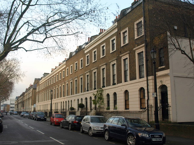
Image: © Derek Harper Taken: 1 Feb 2011
The terrace, of seven properties, its end bays slightly projecting forward, dates from 1827-1832 http://www.britishlistedbuildings.co.uk/en-471423-numbers-25-47-and-attached-railings-25-4 .
Images are licensed for reuse under creativecommons.org/licenses/by-sa/2.0
Image Location
Latitude
51.498019
Longitude
-0.09258