Temple Drain looking North
Introduction
The photograph on this page of Temple Drain looking North by Jonathan Thacker as part of the Geograph project.
The Geograph project started in 2005 with the aim of publishing, organising and preserving representative images for every square kilometre of Great Britain, Ireland and the Isle of Man.

There are currently over 7.5m images from over 14,400 individuals and you can help contribute to the project by visiting https://www.geograph.org.uk
Temple Drain looking North
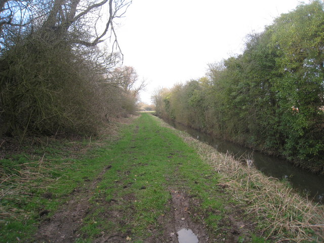
Image: © Jonathan Thacker Taken: 1 Mar 2011
Temple Drain flows alongside the course of the former Axholme Joint Railway which is just visible on the left.
Images are licensed for reuse under creativecommons.org/licenses/by-sa/2.0
Image Location


Leaflet Map data © OpenStreetMap
Latitude
53.577236
Longitude
-0.808192