Footpath junction near Parsonage Villas
Introduction
The photograph on this page of Footpath junction near Parsonage Villas by David Anstiss as part of the Geograph project.
The Geograph project started in 2005 with the aim of publishing, organising and preserving representative images for every square kilometre of Great Britain, Ireland and the Isle of Man.

There are currently over 7.5m images from over 14,400 individuals and you can help contribute to the project by visiting https://www.geograph.org.uk
Footpath junction near Parsonage Villas
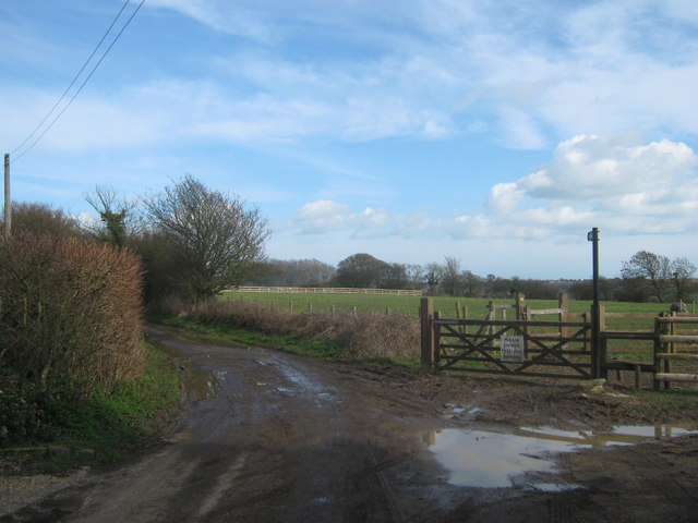
Image: © David Anstiss Taken: 27 Feb 2011
A track (with public access) from Doctor's Lane in Church Hougham leads past Parsonage Villas towards West Down. A footpath (on the right) leads through a field towards Broomfield Wood.
Images are licensed for reuse under creativecommons.org/licenses/by-sa/2.0
Image Location
Latitude
51.114487
Longitude
1.258047