View towards Lantern Pike
Introduction
The photograph on this page of View towards Lantern Pike by Peter Barr as part of the Geograph project.
The Geograph project started in 2005 with the aim of publishing, organising and preserving representative images for every square kilometre of Great Britain, Ireland and the Isle of Man.

There are currently over 7.5m images from over 14,400 individuals and you can help contribute to the project by visiting https://www.geograph.org.uk
View towards Lantern Pike
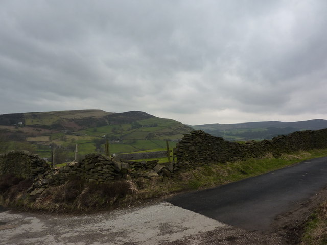
Image: © Peter Barr Taken: 28 Feb 2011
The hills are north of Hayfield. To the right the uplands are the edge of the Kinder plateau. This is from the path which leads up from Birch Vale, at a point just north of Foxholes Clough.
Images are licensed for reuse under creativecommons.org/licenses/by-sa/2.0
Image Location
Latitude
53.376246
Longitude
-1.95186