Elm Vale Recreational Ground
Introduction
The photograph on this page of Elm Vale Recreational Ground by David Anstiss as part of the Geograph project.
The Geograph project started in 2005 with the aim of publishing, organising and preserving representative images for every square kilometre of Great Britain, Ireland and the Isle of Man.

There are currently over 7.5m images from over 14,400 individuals and you can help contribute to the project by visiting https://www.geograph.org.uk
Elm Vale Recreational Ground
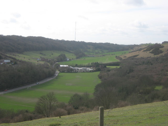
Image: © David Anstiss Taken: 27 Feb 2011
As seen from Whinless Down. This large recreational ground is beside Elm Vale Road. In the background is Harbour School. Elms Wood is on the left.
Images are licensed for reuse under creativecommons.org/licenses/by-sa/2.0
Image Location
Latitude
51.125983
Longitude
1.281156