Sutton: Brookmead Road
Introduction
The photograph on this page of Sutton: Brookmead Road by Dr Neil Clifton as part of the Geograph project.
The Geograph project started in 2005 with the aim of publishing, organising and preserving representative images for every square kilometre of Great Britain, Ireland and the Isle of Man.

There are currently over 7.5m images from over 14,400 individuals and you can help contribute to the project by visiting https://www.geograph.org.uk
Sutton: Brookmead Road
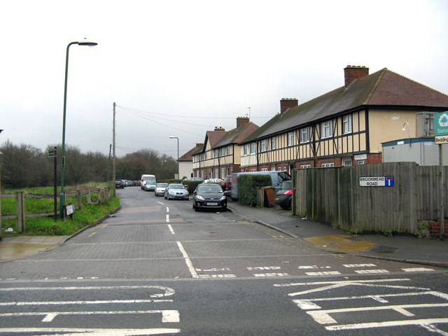
Image: © Dr Neil Clifton Taken: 28 Feb 2011
Just within the northern boundary of the Borough of Sutton, this cul-de-sac is off the northeastern side of Beddington Lane. There are houses only on one side, so their residents have good views over Mitcham Common.
Images are licensed for reuse under creativecommons.org/licenses/by-sa/2.0
Image Location
Latitude
51.389713
Longitude
-0.140783