Woodside Terrace
Introduction
The photograph on this page of Woodside Terrace by Anne Burgess as part of the Geograph project.
The Geograph project started in 2005 with the aim of publishing, organising and preserving representative images for every square kilometre of Great Britain, Ireland and the Isle of Man.

There are currently over 7.5m images from over 14,400 individuals and you can help contribute to the project by visiting https://www.geograph.org.uk
Woodside Terrace
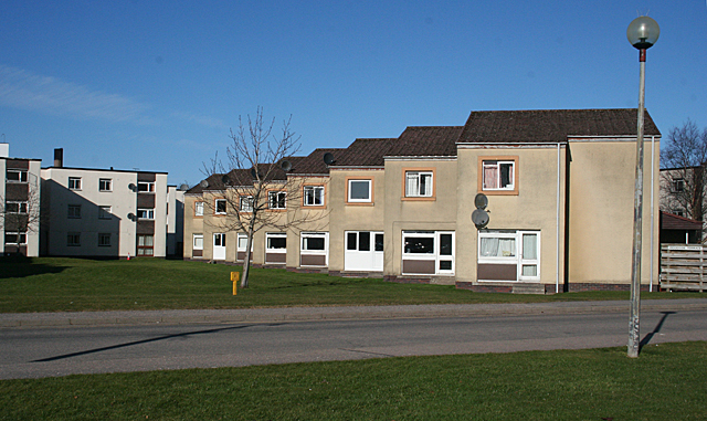
Image: © Anne Burgess Taken: 28 Feb 2011
A row of 'half-houses' in Woodside Terrace. Presumably they were originally uniform, but have been sold and some of the new owners have installed doors and windows in a variety of styles, making it look a bit haphazard.
Images are licensed for reuse under creativecommons.org/licenses/by-sa/2.0
Image Location
Latitude
57.475735
Longitude
-4.196222