Woodside Terrace
Introduction
The photograph on this page of Woodside Terrace by Anne Burgess as part of the Geograph project.
The Geograph project started in 2005 with the aim of publishing, organising and preserving representative images for every square kilometre of Great Britain, Ireland and the Isle of Man.

There are currently over 7.5m images from over 14,400 individuals and you can help contribute to the project by visiting https://www.geograph.org.uk
Woodside Terrace
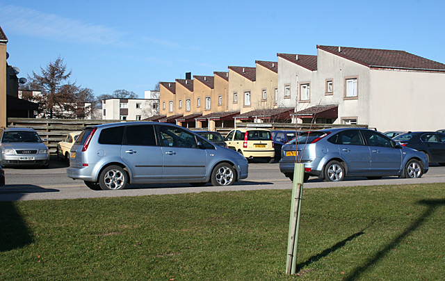
Image: © Anne Burgess Taken: 28 Feb 2011
The terrace is more like a crescent, off which are three rows of these 'half-houses', which were fashionable in the 1960s or 1970s. Overspill of parking from Raigmore Hospital next door is obviously a problem, because there are signs warning that cars parked here without a resident's parking permit will be removed.
Images are licensed for reuse under creativecommons.org/licenses/by-sa/2.0
Image Location
Latitude
57.475546
Longitude
-4.196711