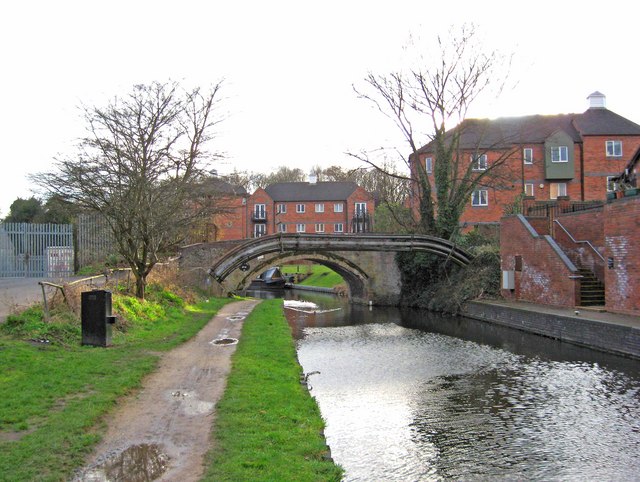
Caldwall Mill Bridge (No. 14), Staffs & Worcs Canal, Kidderminster
Introduction
The photograph on this page of Caldwall Mill Bridge (No. 14), Staffs & Worcs Canal, Kidderminster by P L Chadwick as part of the Geograph project.
The Geograph project started in 2005 with the aim of publishing, organising and preserving representative images for every square kilometre of Great Britain, Ireland and the Isle of Man.
There are currently over 7.5m images from over 14,400 individuals and you can help contribute to the project by visiting https://www.geograph.org.uk

Image: © P L Chadwick Taken: 27 Feb 2011
The bridge is partially obscured by a pipeline crossing the canal in front of it. The bridge carries a public footpath across the canal, which continues through the residential Round Hill Wharf development, and comes out on Park Lane. The buildings which can be seen here, are part of the Round Hill Wharf development. Caldwall Mill, or what remains of it, is today used for other commercial purposes. These days it is frequently spelt Caldwell, but the original spelling was Caldwall, and that still applies to this bridge. Image
Image Location


